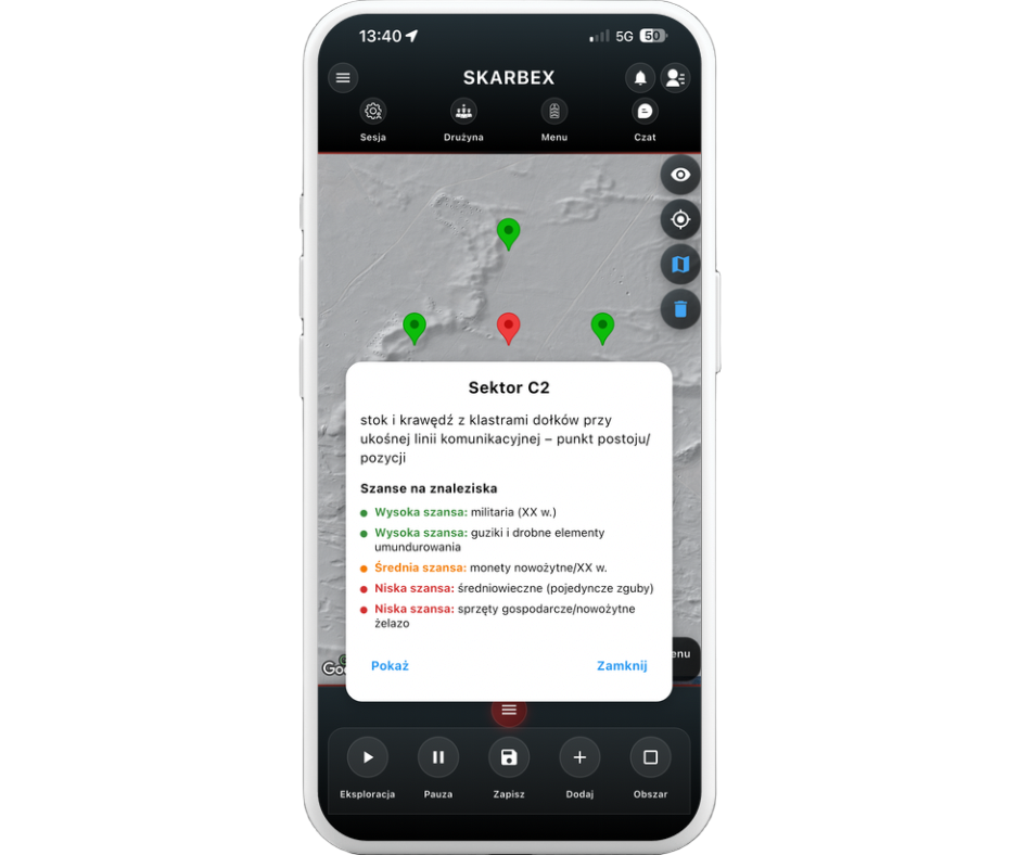
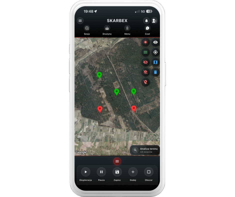
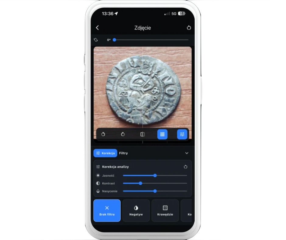
Skarbex to zaawansowana platforma wspierająca legalne badania terenowe i poszukiwania historycznych artefaktów, oferując użytkownikom narzędzia do rzetelnej identyfikacji i oceny znalezisk. W ramach rozwoju naszego projektu, poszukujemy do współpracy uznanych specjalistów, którzy wzbogacą nasze działania swoją ekspertyzą i doświadczeniem.
Kogo szukamy?
•Numizmatyków – specjalistów w zakresie analizy i oceny monet historycznych, medali i innych form dawnego pieniądza.
•Ekspertów od militariów – badaczy broni białej i palnej, jak również insygniów wojskowych i artefaktów związanych z historią wojskowości.
•Specjalistów od ceramiki – ekspertów w dziedzinie klasyfikacji i analizy ceramiki archeologicznej, od fragmentów naczyń po kafle i inne wyroby.
•Konserwatorów zabytków – profesjonalistów w zakresie ochrony i konserwacji materiałów archeologicznych i historycznych, którzy pomogą w zachowaniu znalezisk w należytym stanie.
Jeśli posiadasz dogłębną wiedzę i praktykę w pracy z artefaktami wydobytymi z ziemi oraz jesteś zainteresowany współpracą, zapraszamy do kontaktu na skarbexapp@gmail.com. Chętnie porozmawiamy o szczegółach współpracy i wspólnych działaniach na rzecz ochrony naszego dziedzictwa kulturowego.